

Parking Lot Striping Coverage in Sanibel, Florida
Sanibel is a Gulf island city in Lee County, reached by the Sanibel Causeway across San Carlos Bay. This page covers private parking pavement for shops, offices, and residential sites on the island.
The work is parking lot striping. Other communities are on the service areas page.
Roads, paths, and the walk from the car
The city's public facilities map names Tarpon Bay Road Beach Park, Bailey Road Beach Access, Bowman's Beach Park, Lighthouse Beach Park, Turner Beach Park, Blind Pass Beach Park, Sanibel Community Park, the Sanibel Recreation Center, City Hall, the library, and the Historical Village and Museum, and its legend marks shared use paths. If your private lot is near one of those, ask whether people walk or bike across your pavement before drawing anything.
The map lists the Recreation Center at 3880 Sanibel Captiva Road, and a city notice described trimming vegetation along a shared use path. Paths and lots can sit side by side, so describe where yours meet and where visitors enter on foot.
The map also notes that public parking is allowed in designated areas only and is subject to fees. Those rules apply to city beach parks and not to private lots. Your own sign should say what your lot allows.
Sanibel Boat Ramp is at 888 Sextant Drive, according to a city proclamation. If your property serves boaters or other trailer users, describe the vehicle lengths so any long stalls can be measured.
Salt air and strong sun can fade paint, so check the symbols and arrows each season and note which ones have thinned. Any plan for accessible spaces and aisles should come from your site measurements and the standards that apply, not from this page.
Room to unload, marked clearly
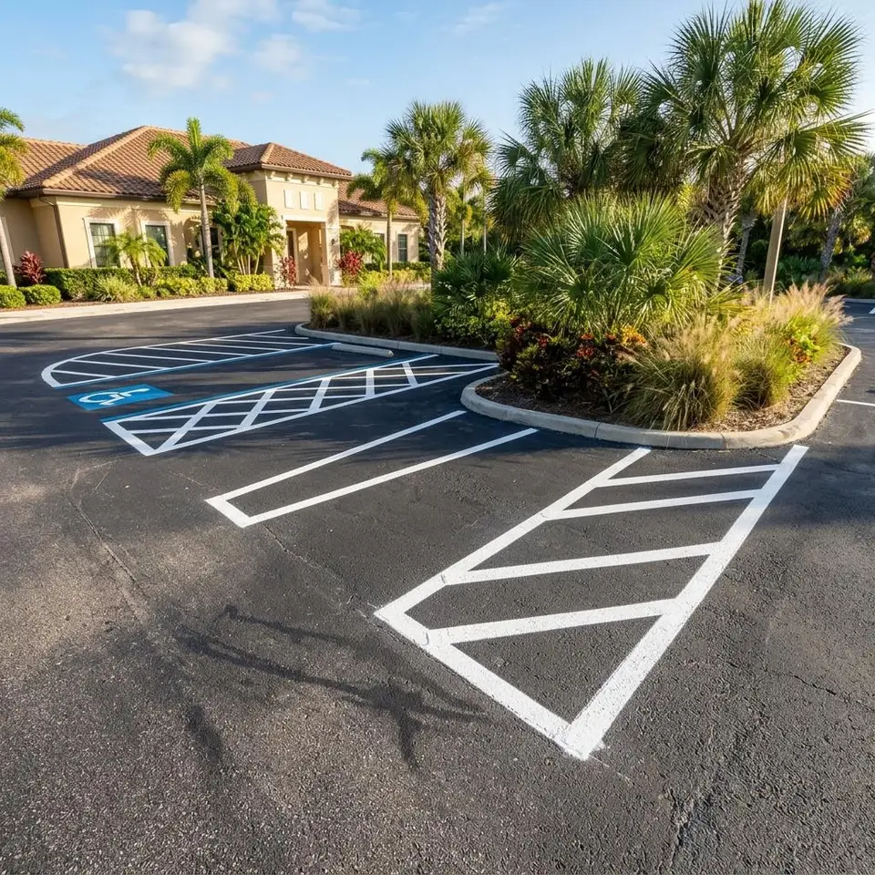
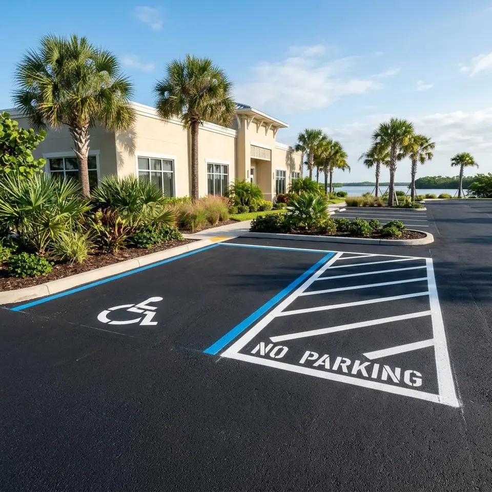
Accessible spaces for vans need an access aisle beside them. Van access aisle striping marks that aisle so no one parks in it, and it supports the main stall plan. Requirements depend on the site, so we measure first.
Access aisles are never used for parking, so the hatching should stay crisp and clean.
Tell us how many accessible spaces you have through the homepage inquiry form.
Photographs of each accessible space and the walkway beside it help us review the layout.
Map of Sanibel Island Roads and Paths
Use this Sanibel map to locate your property and identify the road serving its driveway. Compare the parking entrance with nearby paths when describing the striping area. This community map does not identify an office or a completed project.
Sanibel Lot Questions
Four questions property managers ask about Sanibel.
How wide is a van access aisle?
Width depends on the standards that apply to your site. We measure on site and compare, and we do not promise compliance from a description alone.
Can the aisle sit next to a path?
Only where the approved accessible layout keeps the aisle clear and the walking route compatible with it. Send a site plan or photographs and we will review before any paint goes down, without promising a result.
Do beach park rules apply to my lot?
No. City beach parking rules cover city parks. Your private lot has its own rules.
Are beach parks clients?
No. They are named only as landmarks with no work described.
Have a Sanibel lot to mark?
Share the property, the markings you are thinking about, and any deadline. We will take it from there.