

Parking Lot Striping Coverage in Punta Rassa, Florida
Punta Rassa is a community in southwestern Lee County at the west end of a peninsula, with the Caloosahatchee River to the north, San Carlos Bay to the west, and the Gulf of Mexico to the south. It sits at the east end of the Sanibel Causeway.
This page covers private lots under parking lot striping. See other communities on the service areas page.
Marking where vehicles may stop
Properties with deliveries, pickups, or supply stops can use loading zone striping to mark a stopping area clear of stalls and drive aisles. It supports the stall plan rather than replacing it.
Keep stopping areas away from entrances so a waiting truck never blocks the drive.
Describe the vehicle sizes involved through the homepage inquiry form.
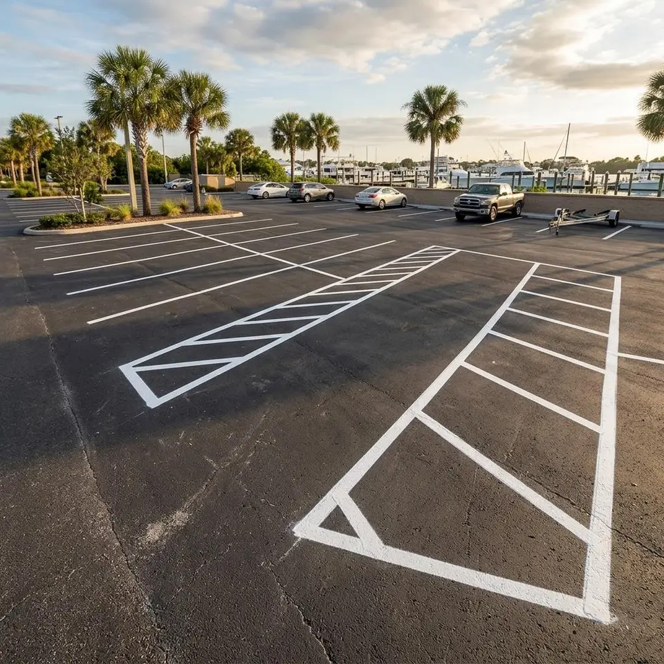
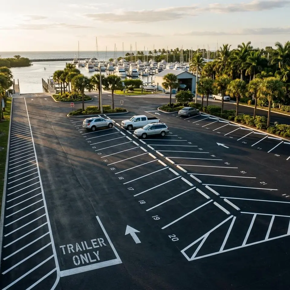
Cars, trailers, and the space between them
Wikipedia describes Punta Rassa as the west end of a peninsula, with the Caloosahatchee River to the north, San Carlos Bay to the west, and the Gulf of Mexico to the south, at the east end of the Sanibel Causeway. McGregor Boulevard, County Road 867, forms the southern edge and Iona lies to the east. A private entrance should be described by its own drive and cross street, because a mailing address alone may not show it.
Lee County's Punta Rassa Boat Ramp, at 18500 McGregor Boulevard according to a county parking map, has two double ramps, a staging area, and a parking area with several vehicle and trailer spaces plus single vehicle spaces. It is a public site, not a client. It shows how a lot can separate long combinations from ordinary cars, if your property has both.
Nearly half of the census area, about 47 percent, is water. If your pavement sits near the shore, inspect it for loose surface and damp edges before lines are planned.
List the longest vehicle you expect and whether it backs in or pulls through. Combination spaces need a straight approach, while single car stalls can sit at the edge of the lot. Sketch the path a trailer would take and keep passenger stalls out of it if you can.
If your lot has no trailers at all, ignore all of that and ask for an ordinary restripe. We will not add long stalls to a lot that does not need them.
Map of Punta Rassa at the Causeway
The map is centered on Punta Rassa, Florida, and shows the peninsula between the river and San Carlos Bay with McGregor Boulevard on its south side. It identifies the community, not an office. Google Maps supplies it and loads when it comes into view.
Punta Rassa Vehicle Mix Questions
Four questions property managers ask about Punta Rassa.
Can a lot mark both car and trailer stalls?
Yes, if the pavement has room. Longer stalls and wider aisles are drawn separately from ordinary stalls.
How do I measure a long vehicle space?
Measure the longest vehicle you expect, then add turning room. Send the number and we will compare it with the pavement.
Does salt air change the process?
Preparation matters more near the water. Remove loose debris and moisture before painting.
Do you mark the ramp or causeway?
No. This service covers private parking pavement, not public ramps or roads.
Have a Punta Rassa lot to mark?
Share the property, the markings you are thinking about, and any deadline. We will take it from there.