

Parking Lot Striping Coverage in Iona, Florida
Iona is an unincorporated community in southwestern Lee County. Its northern boundary is the tidal Caloosahatchee River, its southern edge is Summerlin Road, and McGregor Boulevard crosses it from northeast to southwest. An inquiry can come from any private lot in between, from a small office to a shared residential court.
Our main service is parking lot striping, covering stall lines, aisle edges, and symbols. Browse every community on the service areas page.
Reading a river edge community row by row
The Census Bureau lists about 35 percent of Iona's area as water, mostly the Caloosahatchee estuary. A private lot here may back onto water, a drainage edge, or a neighbor's pavement, and the first step in any plan is to find out which. If your parking area is split into separate rows, describe each row on its own, along with the driveway that reaches it, so one faded section is not mistaken for the whole lot.
Punta Rassa lies to the west and Harlem Heights to the east. A property near either border should name its own driveway and cross street in an inquiry, not only the community, because a mailing label and a map boundary do not always agree.
Summerlin Road, County Road 869, forms the southern edge, and McGregor Boulevard crosses the community from northeast to southwest. Either road is a handy reference for locating a driveway. The striping concerns the pavement behind the entrance, not the road. If your property has one row near the street and another behind a building, treat them as separate surfaces, since sun, shade, and use may have worn them differently.
Wikipedia places Iona about 4 miles northeast of the Sanibel Causeway, with Cape Coral across the river. If your owners or tenants see drivers crossing the lot on the way to either, clear stall edges and entry arrows can help separate your rows from through movement. If they do not, simpler lines are enough.
Assigning each row a purpose
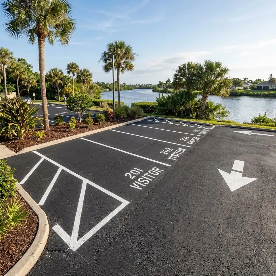
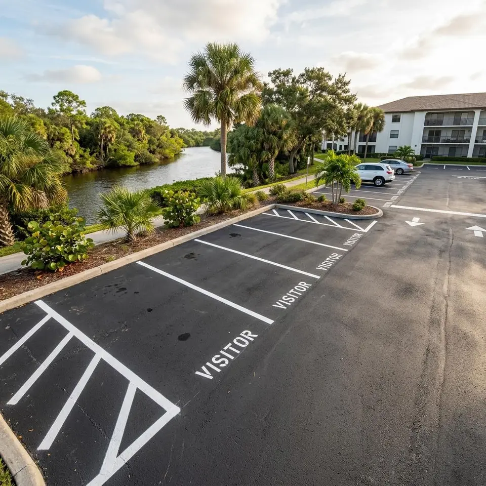
Where rows are reached separately, reserved space striping can assign one row to tenants, another to visitors, and another to pickups. Painted borders, a symbol or word, and a matching sign keep the assignment visible.
Reserved space striping supports the main stall plan and does not replace it. If a row is already assigned in a lease or association record, bring that record so paint, signs, and paperwork agree. Tell us how many spaces each group needs through the homepage inquiry form.
Map of Iona and Its Boundaries
The map is centered on Iona, Florida, between the Caloosahatchee River and Summerlin Road, with McGregor Boulevard crossing it. It shows the community and its neighbors, not an office. Google Maps supplies it and it loads as it nears view.
Iona Parking Questions
Four questions property managers ask about Iona.
Can each row have its own stall plan?
Yes. Rows reached by separate drives can be marked for different uses, provided aisles and accessible spaces still work together. Describe each row in your inquiry.
What if my lot is next to the river?
Pavement near water still needs a dry, clean surface before paint. Mention any standing water you have seen and we will talk through preparation.
My mailing address uses another city name. Is it covered?
Possibly. Give us the cross street and the driveway your visitors use, and coverage can be confirmed from the pavement location, not the mailing label.
Do you mark Summerlin Road itself?
No. This service covers private parking pavement. Public road markings belong to the agency that maintains the road.
Have a Iona lot to mark?
Share the property, the markings you are thinking about, and any deadline. We will take it from there.