

Parking Lot Striping Coverage in Cypress Lake, Florida
Cypress Lake is a census designated place in central Lee County, bordered by McGregor on the west, Whiskey Creek on the north, and Villas on the east. This page covers private parking pavement there.
The work is parking lot striping: stalls, aisle edges, accessible spaces, and symbols. See neighboring communities on the service areas page.
When a school style plan helps
Some properties near Cypress Lake serve students, such as tutoring, dance, or after school programs. School parking lot striping covers queue lanes, drop off zones, and marked crossings as an addition to the main stall plan.
Painted queue arrows and edge lines do not control behavior alone, but they give a plan something to point to when drivers hesitate.
Describe your pickup pattern and how many cars wait at once, then send details through the homepage inquiry form.
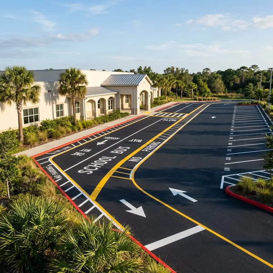
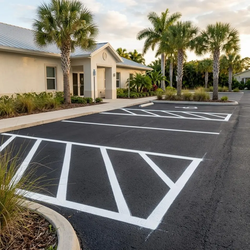
Arrival routes around schools and fields
Cypress Lake High School is at 6750 Panther Lane, according to the school website, and Rutenberg Park is at 6500 South Pointe Boulevard, according to Lee County. The county lists ballfields, courts, a playground, and free parking at the park. Schools and ball fields concentrate arrivals around scheduled times, so a nearby owner who runs a program of their own can ask whether their lot sees the same kind of peaks.
Rutenberg Park lies between College Parkway and Cypress Lake Drive, one block east of McGregor Boulevard. If your private lot sits near it, keep your own entry easy to read, so that someone looking for park parking is not drawn down your aisles by mistake.
Wikipedia gives the census area as about 4 square miles, bordered by McGregor on the west, Whiskey Creek on the north, and Villas on the east. Where a lot shares an edge with a neighbor, confirm with your survey where your pavement ends before any line is planned.
If your lot has a busy arrival hour, walk it at that hour and note where cars gather. A crowd near the entrance may mean the first row sits too close to the drive, or that signs and paint are saying different things. If you see no crowd, an ordinary restripe may be all you need.
Photographs from the driveway and from the far end of the lot give us far more to work with than a postal address. Add a note about which rows have lost the most contrast, so the plan can begin there.
Map of the Cypress Lake Area
The map is centered on Cypress Lake, Florida, and shows the community between McGregor and Villas with nearby parks and school grounds. It marks an area, not an office. Google Maps supplies it and it loads when it comes into view.
Cypress Lake Striping Questions
Four questions property managers ask about Cypress Lake.
Do you work for the school or the park?
No. They are named only as landmarks. Nothing here describes work done at those places, and this website offers striping for private property.
How should I describe pickup traffic?
Say where cars enter, where they wait, and where they leave. A phone photo from the driveway is often enough to start.
Can new lines stay on my side of a shared edge?
Yes. Marking can stop at your property line. Confirm the boundary with your survey or neighbor before work begins.
Which lot areas fade first?
Entry rows and turning areas usually lose contrast before back rows. Check those first when you inspect.
Have a Cypress Lake lot to mark?
Share the property, the markings you are thinking about, and any deadline. We will take it from there.